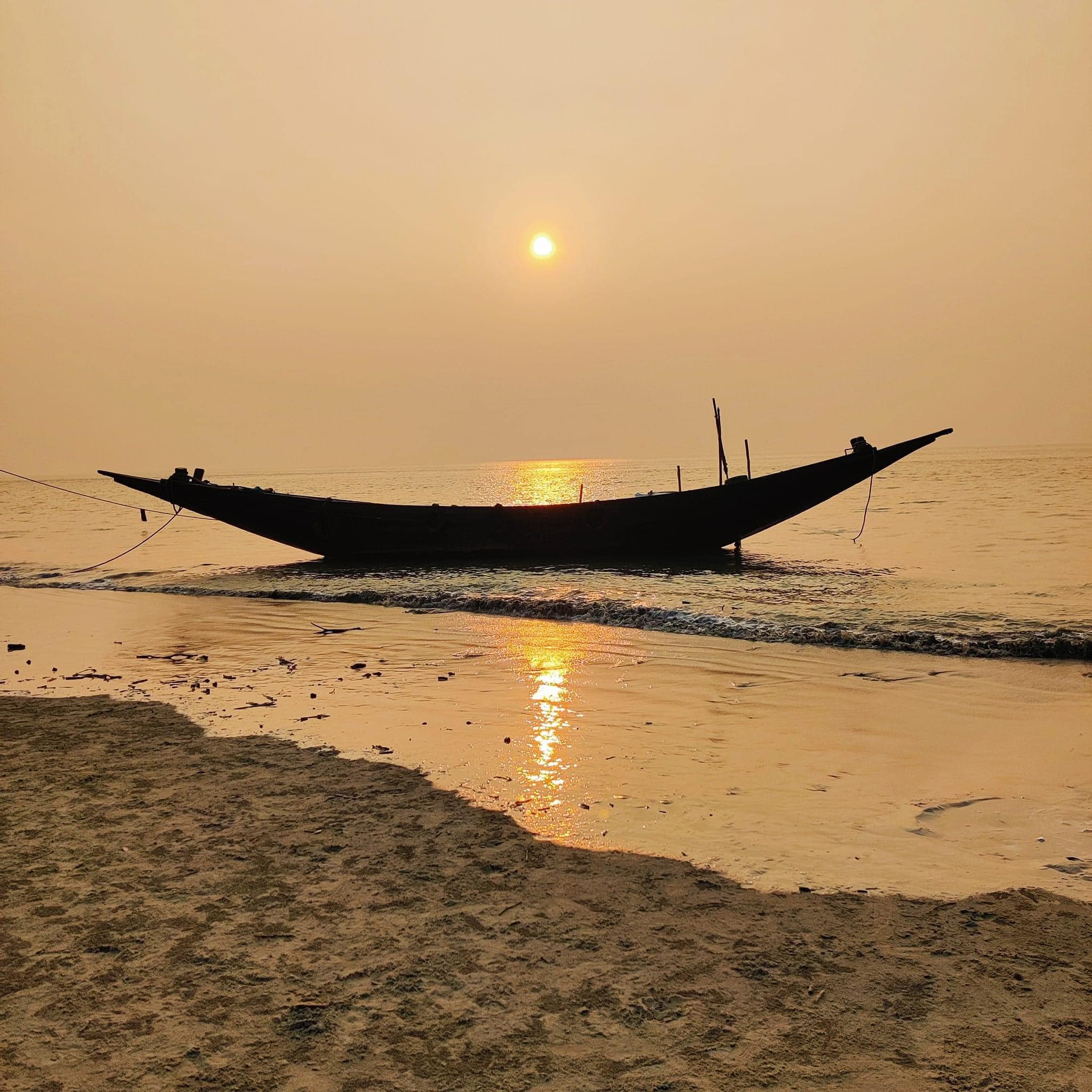
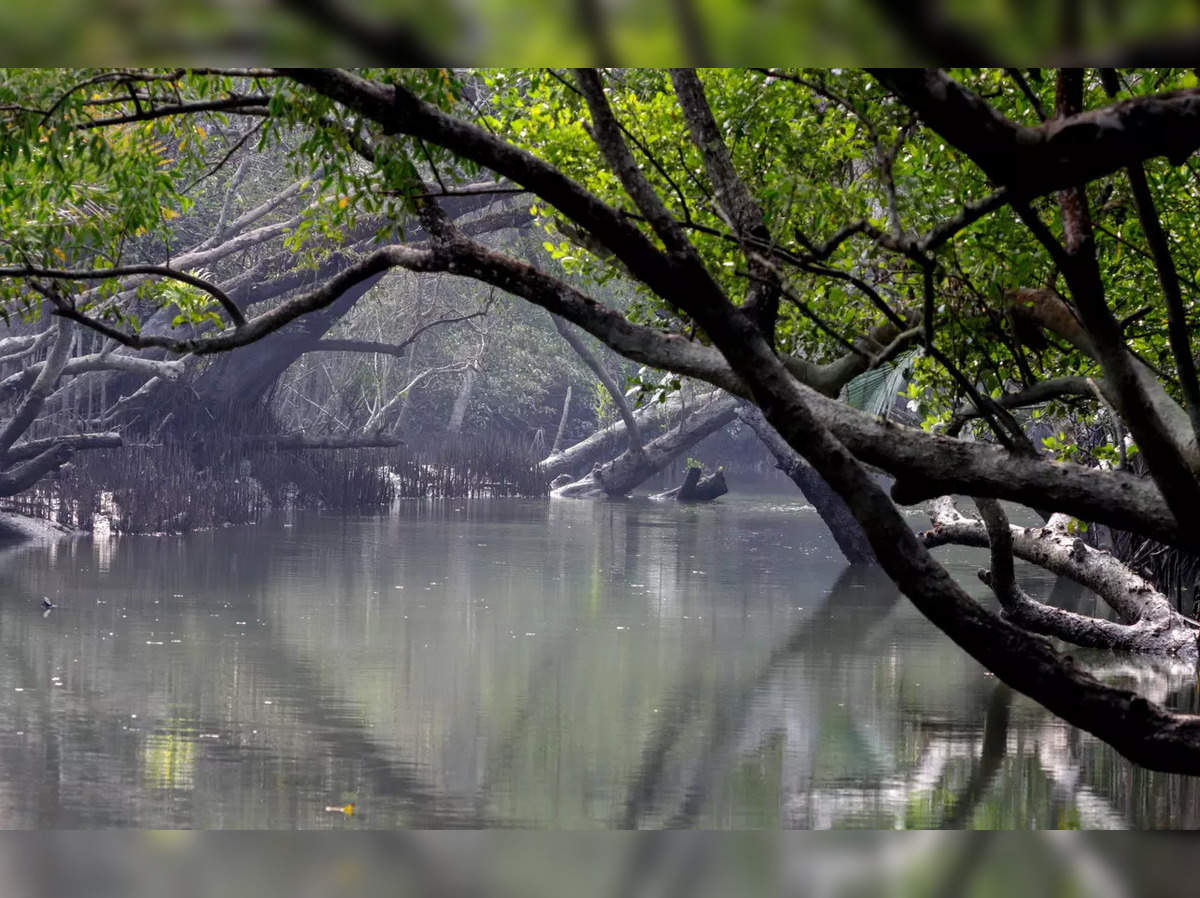
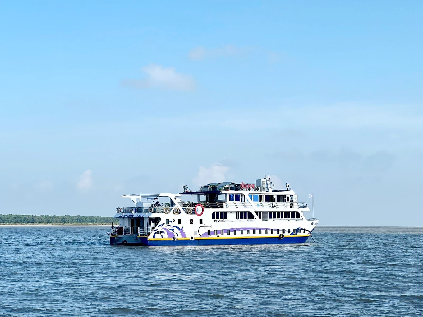

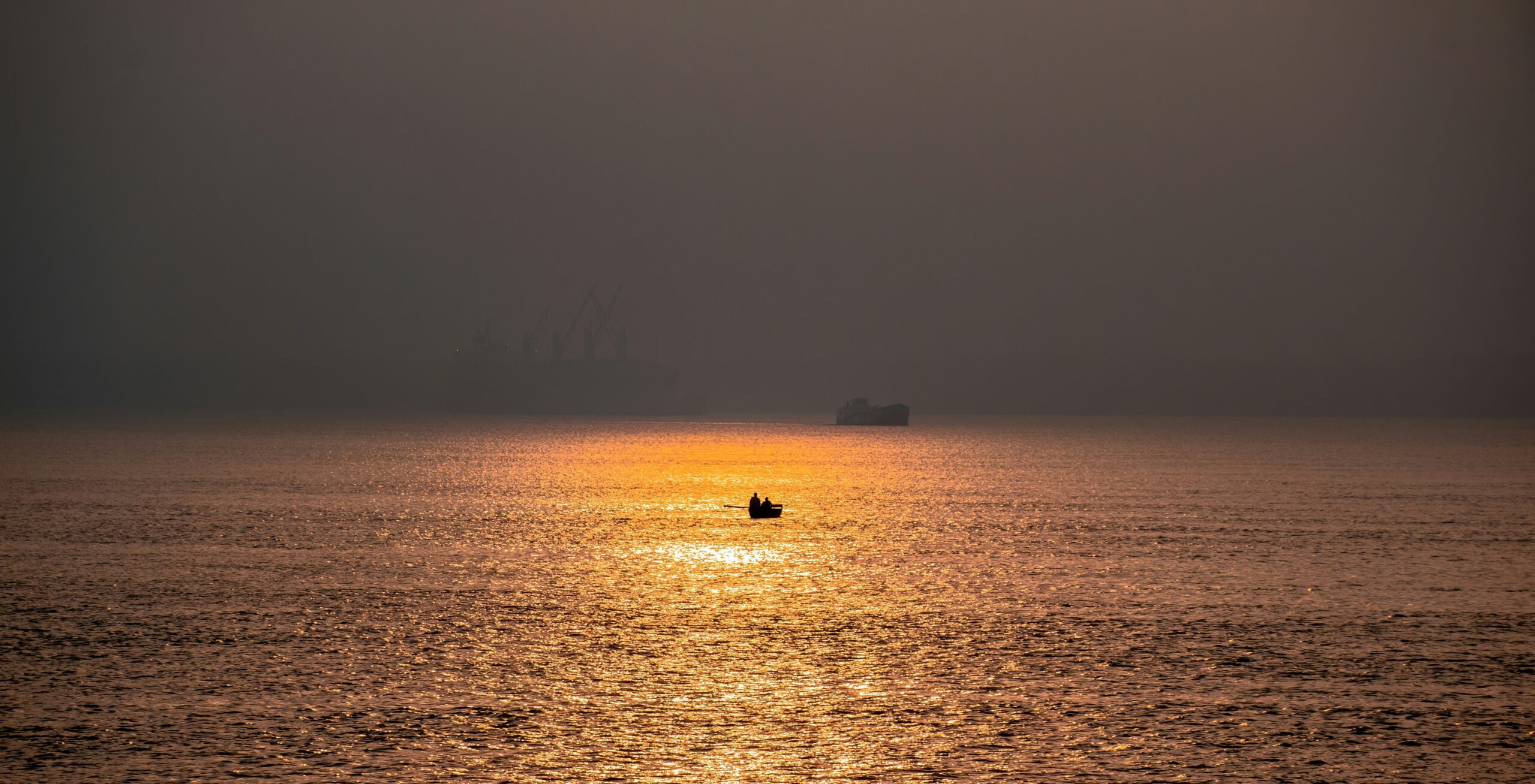


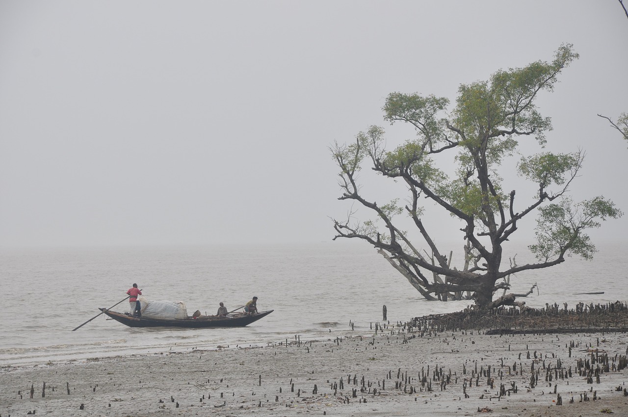
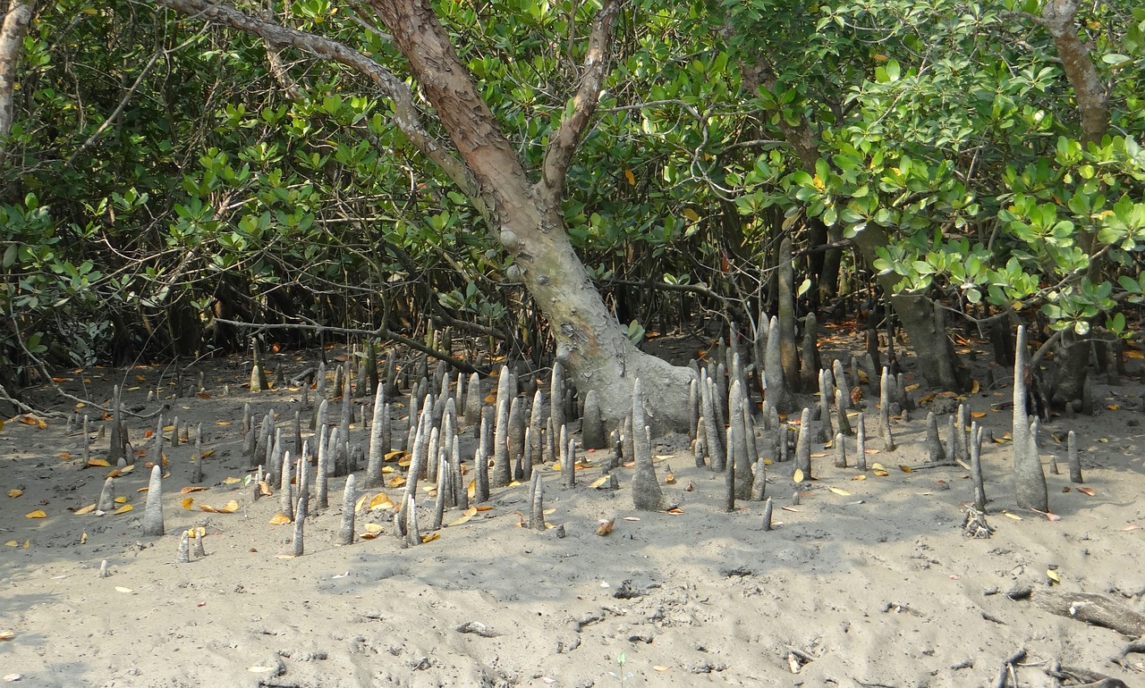
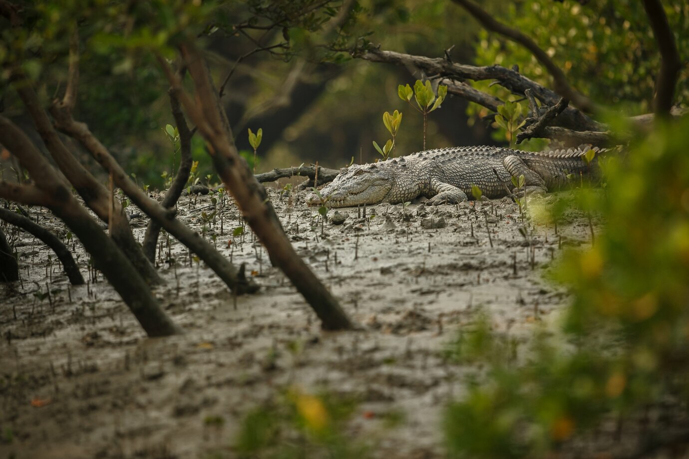
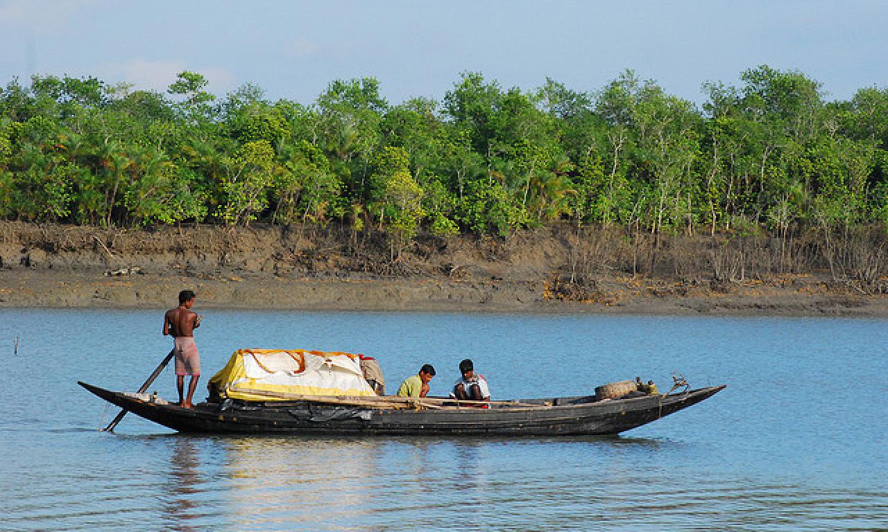
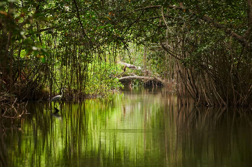
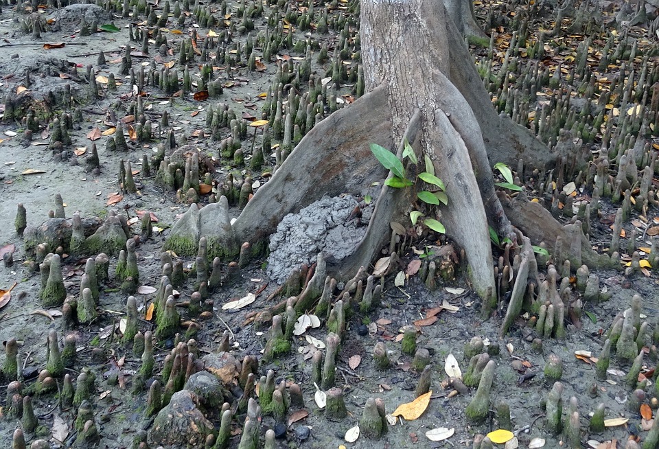
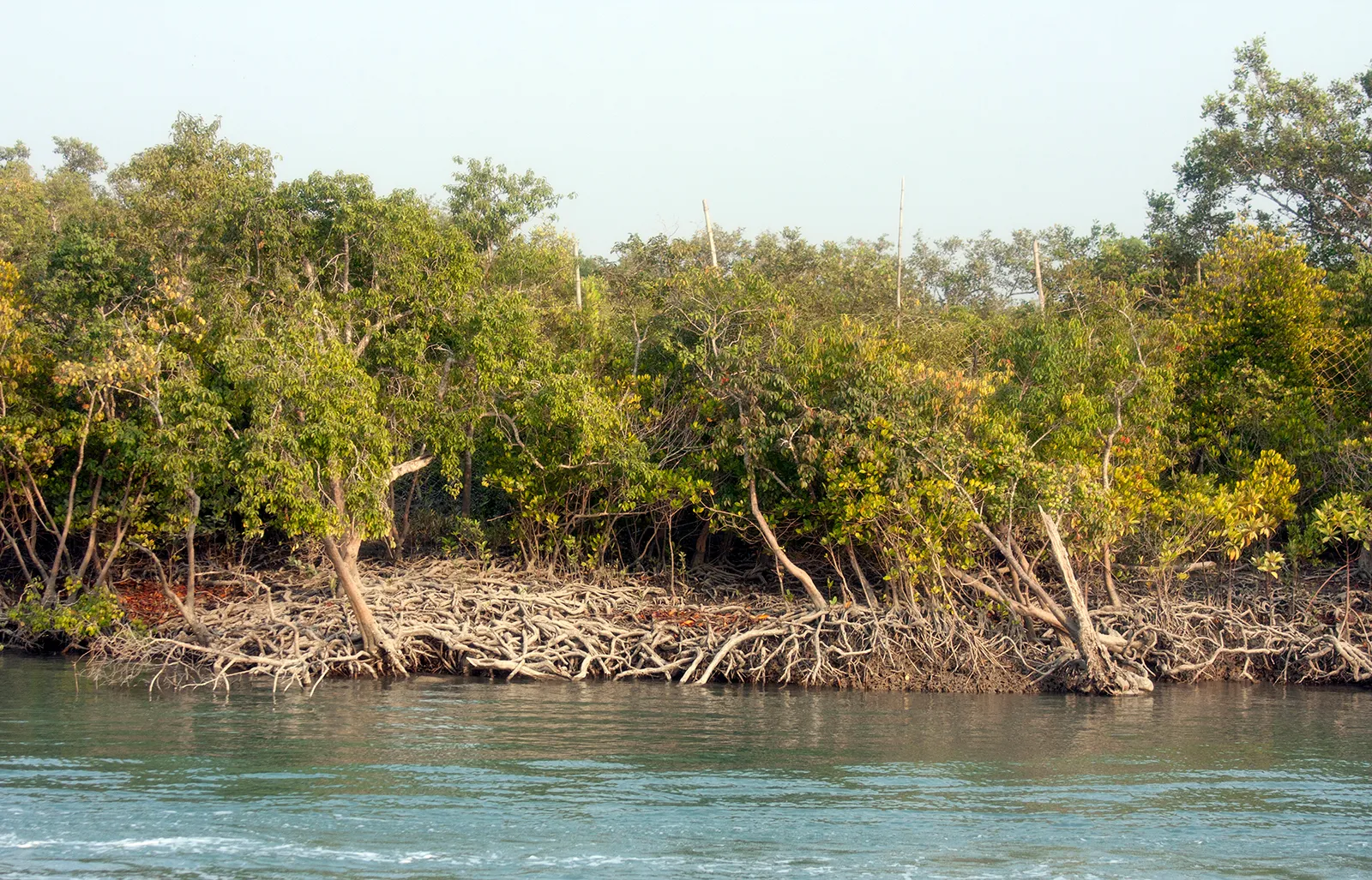
The Sundarbans is a vast mangrove forest located in the Ganges Delta, formed by the convergence of the Ganges, Brahmaputra, and Meghna rivers in the Bay of Bengal. It stretches from the Hooghly River in India’s West Bengal state to the Baleswar River in Bangladesh’s Khulna Division. This region includes both closed and open mangrove forests, agricultural land, mudflats, and barren areas, and is crisscrossed by numerous tidal streams and channels.
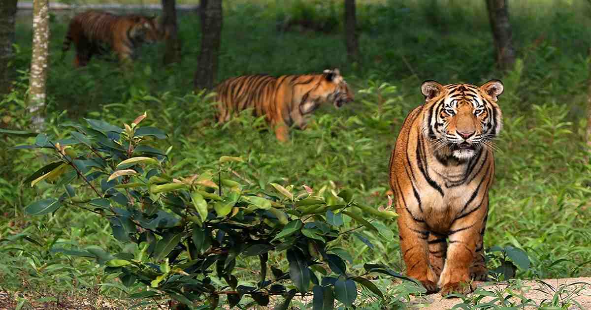
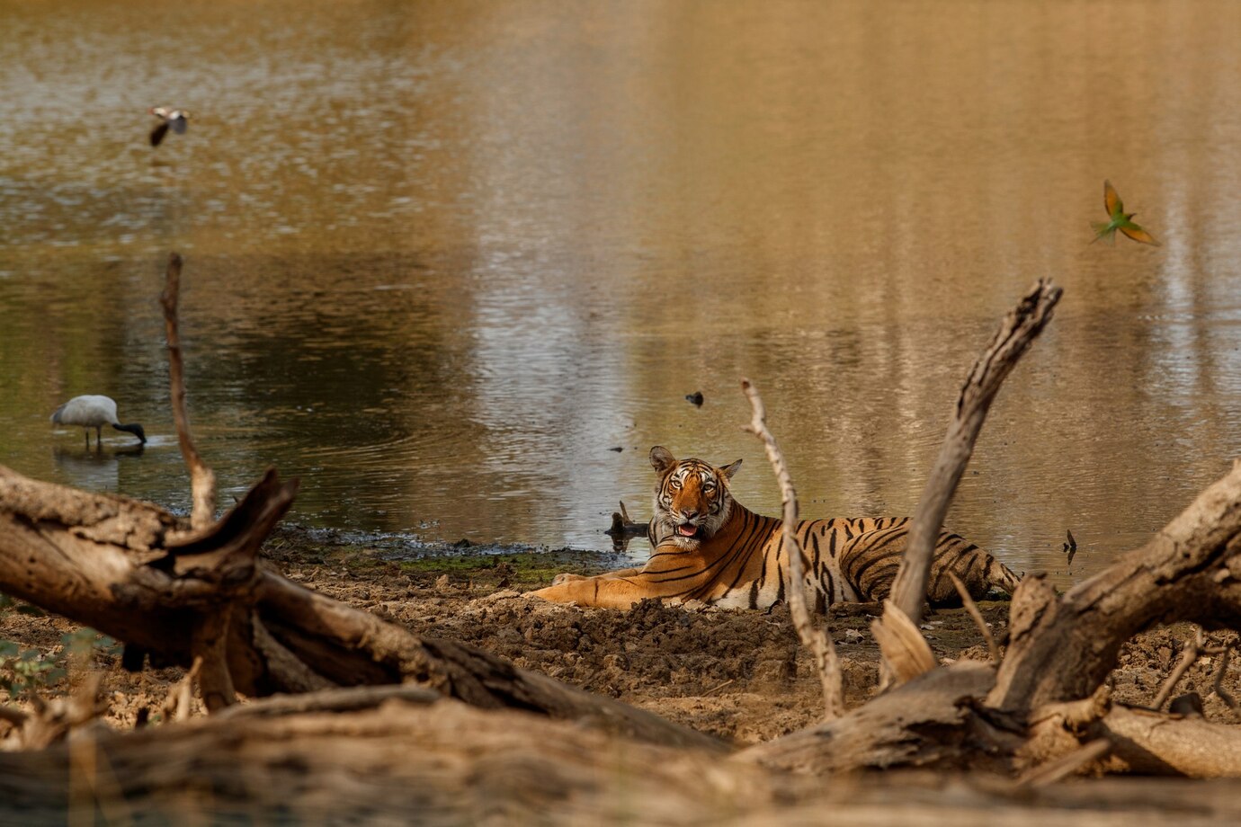
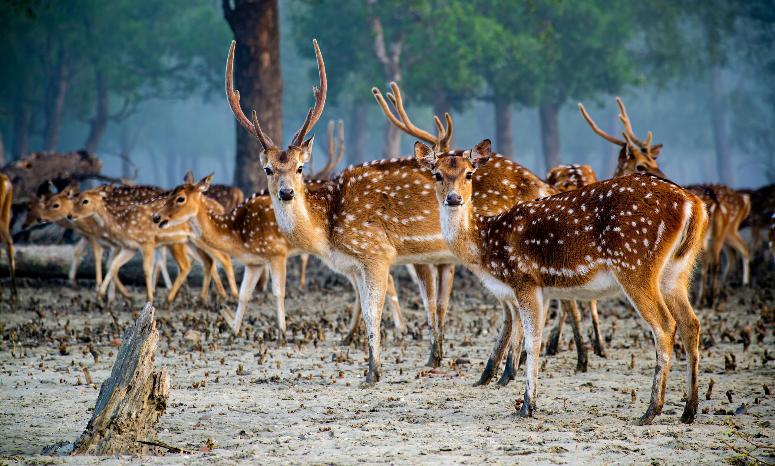
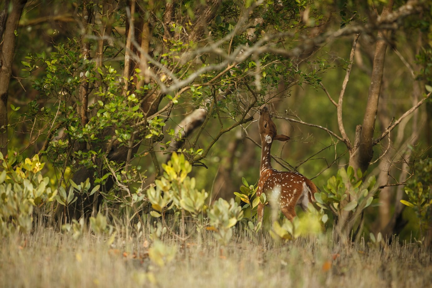
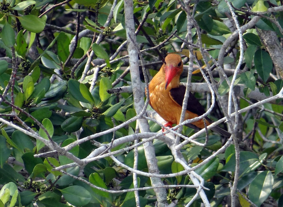
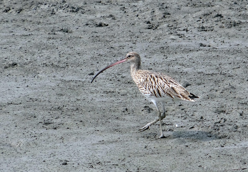
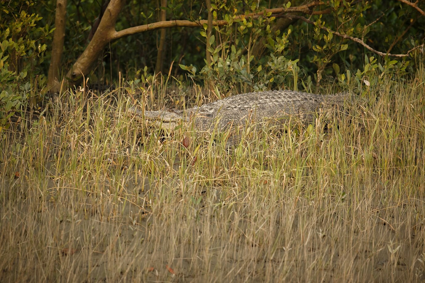
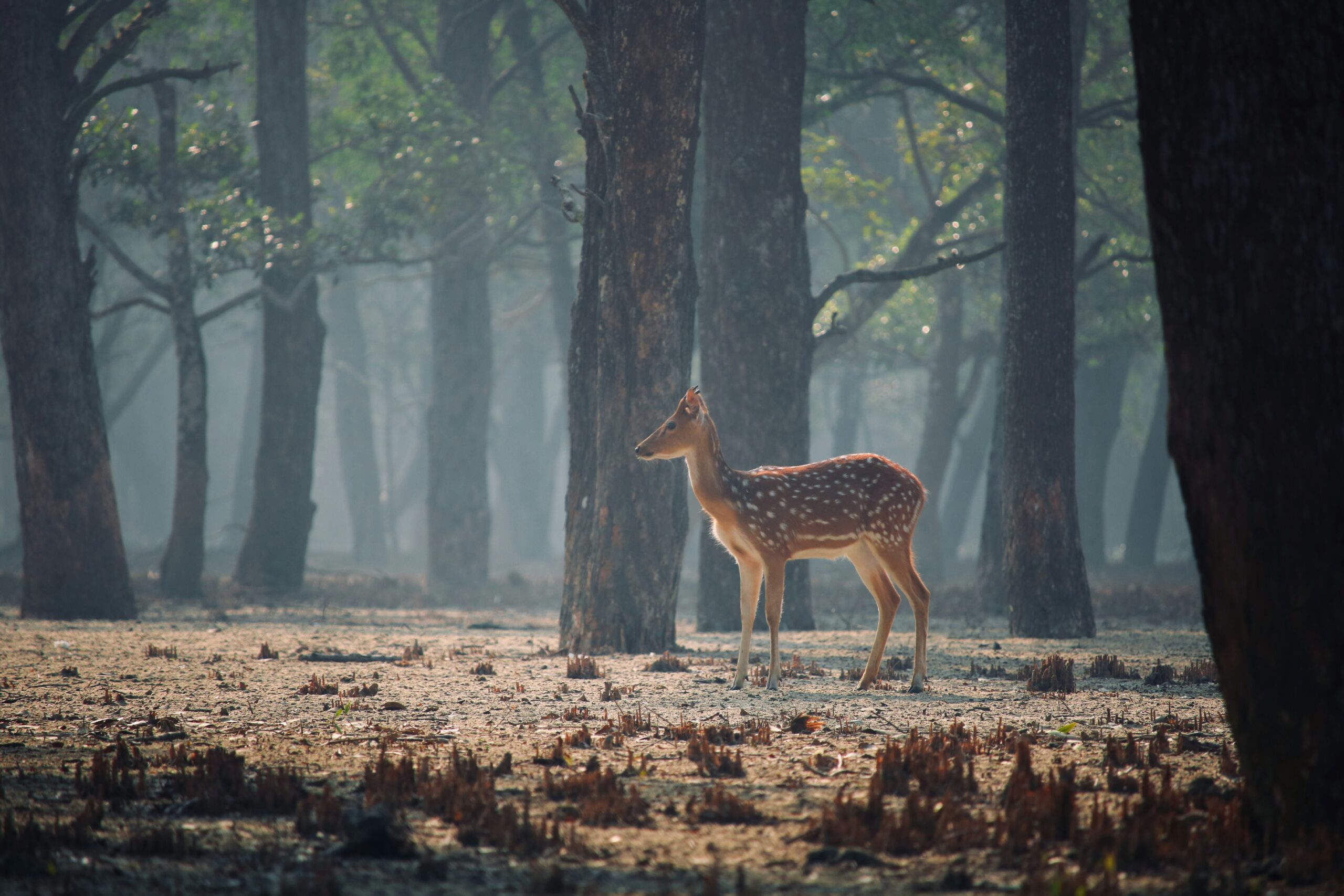
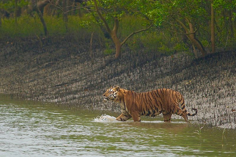
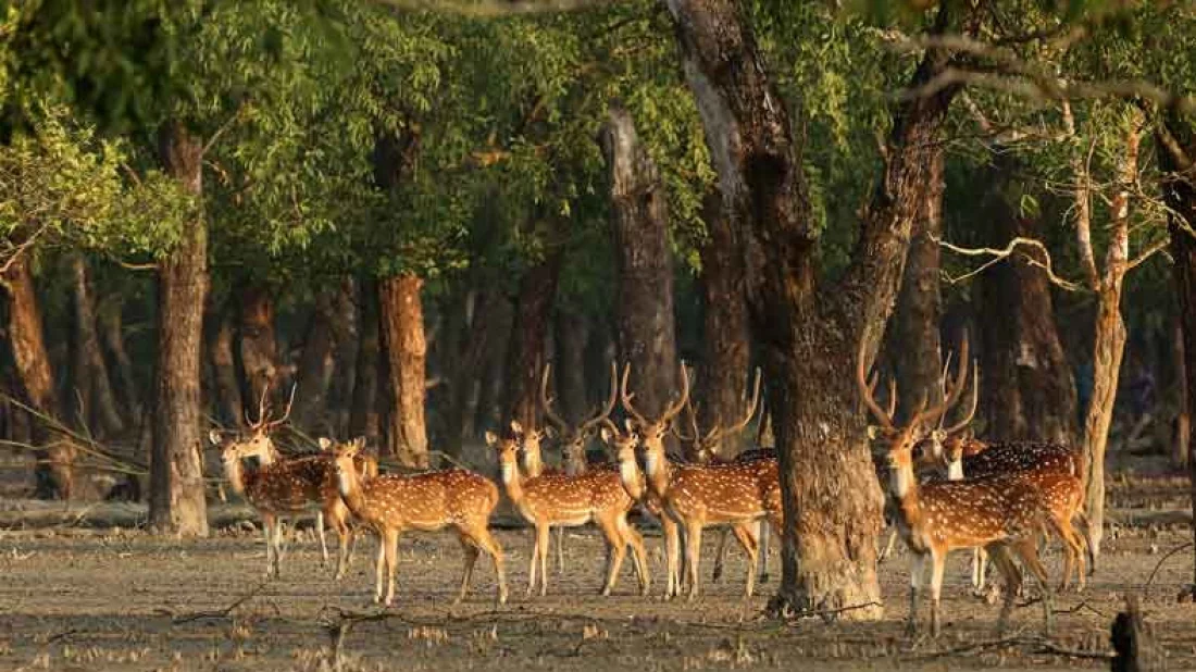
Covering approximately 10,000 square kilometers (3,900 square miles), the Sundarbans is the world’s largest mangrove forest. The islands within this area hold significant economic value, serving as storm barriers, shore stabilizers, nutrient and sediment traps, and sources of timber and natural resources. They also support a diverse range of aquatic, benthic, and terrestrial organisms.
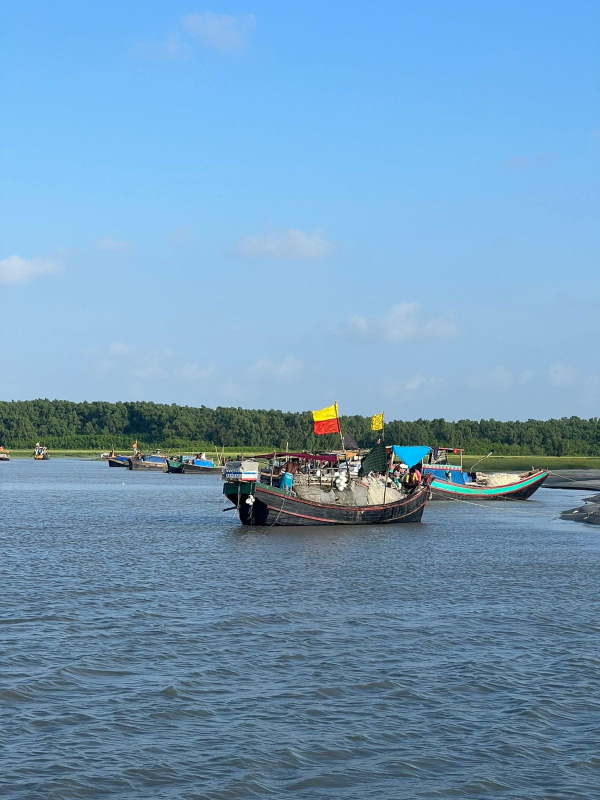
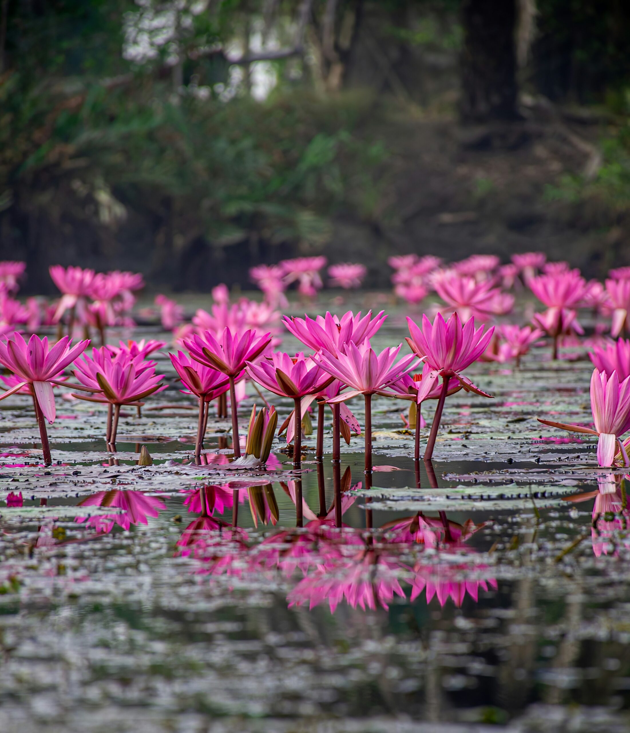
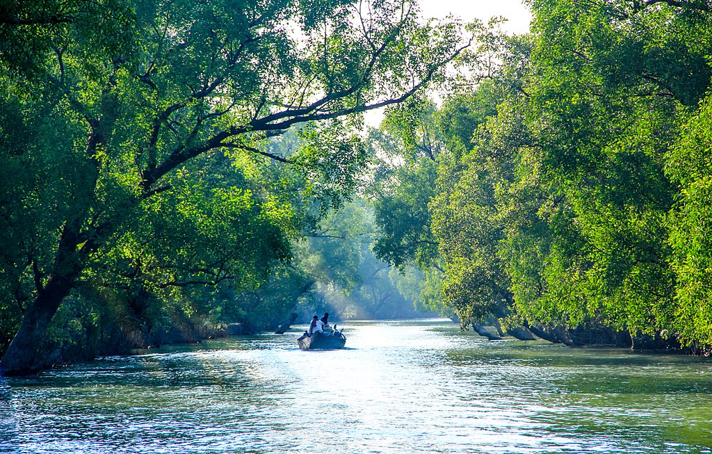
This environment is an excellent illustration of various ecological processes, including monsoon rain flooding, delta formation, tidal influences, and plant colonization. The region is estimated to consist of about 55% forest land and 45% wetlands, which include tidal rivers, creeks, canals, and extensive estuarine river mouths. Approximately 66% of the mangrove forest area is found in Bangladesh, while the remaining 34% is located in India.


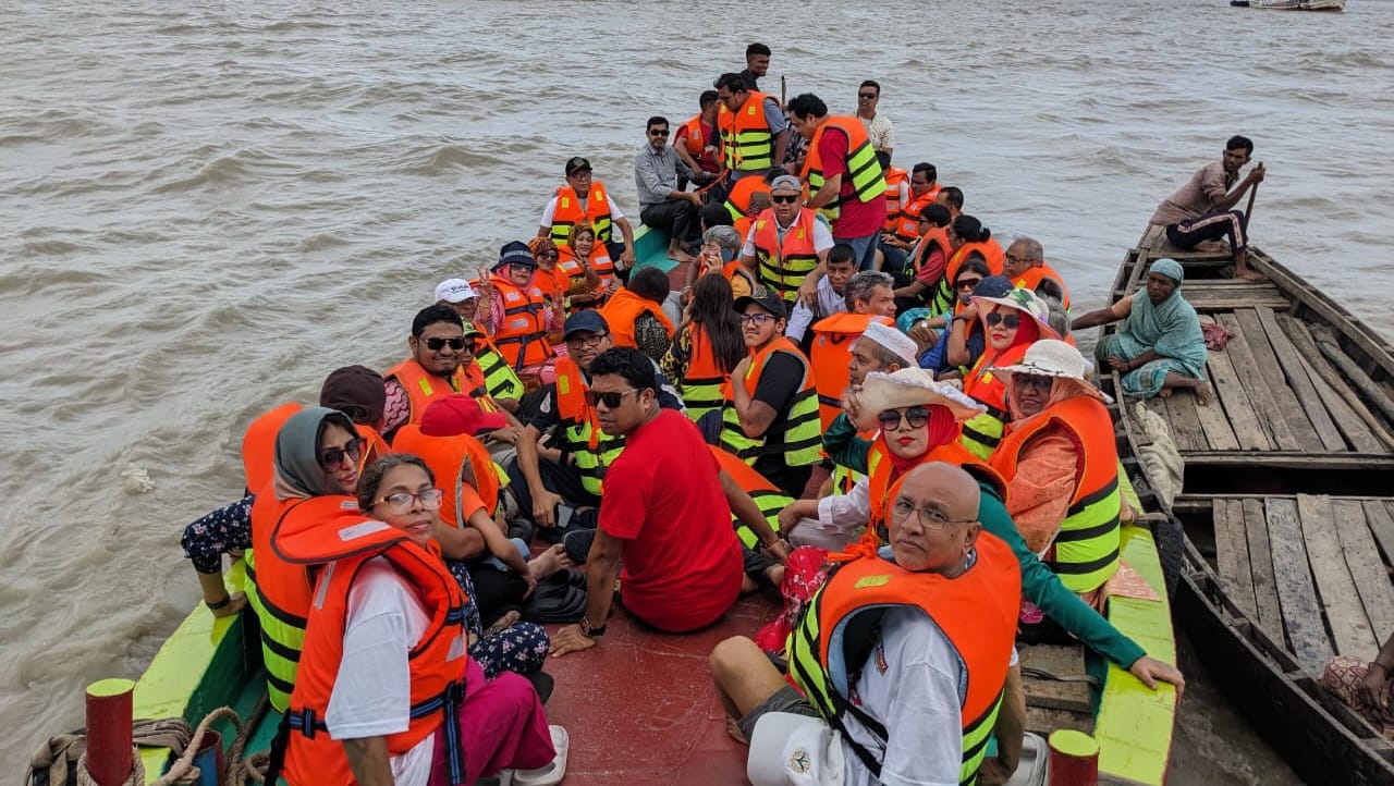
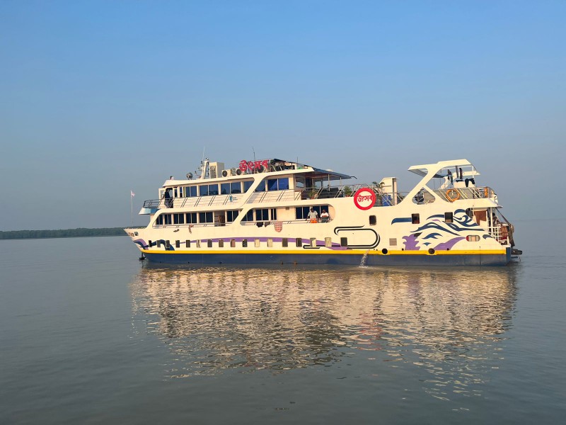
Reserve your ideal trip early for a hassle-free trip; secure comfort and convenience!